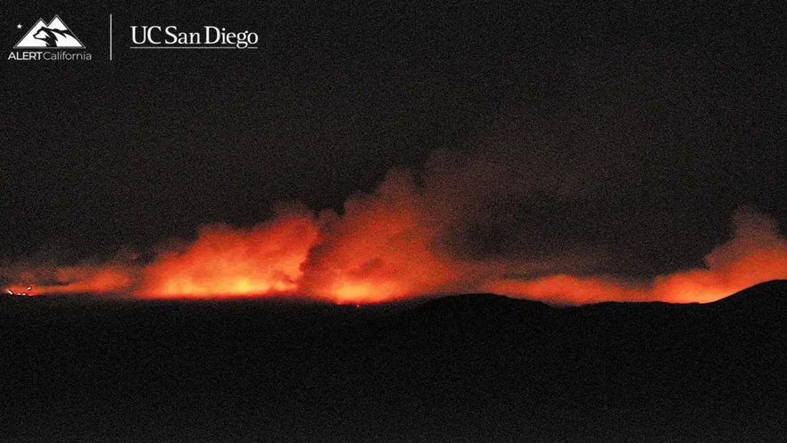
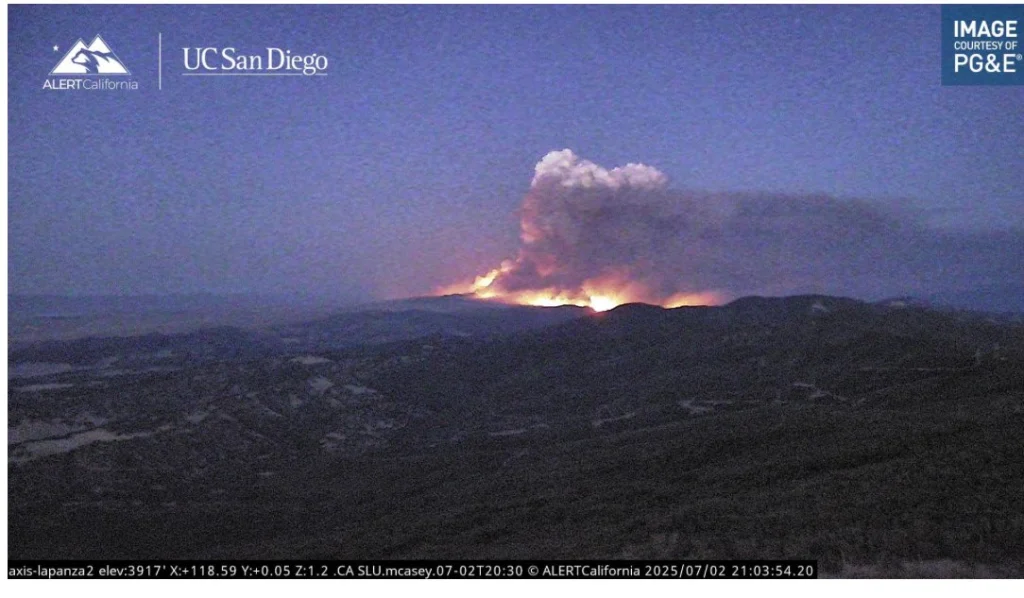
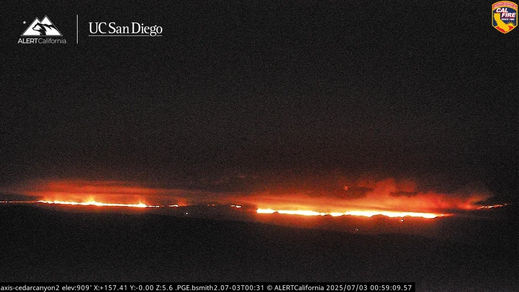
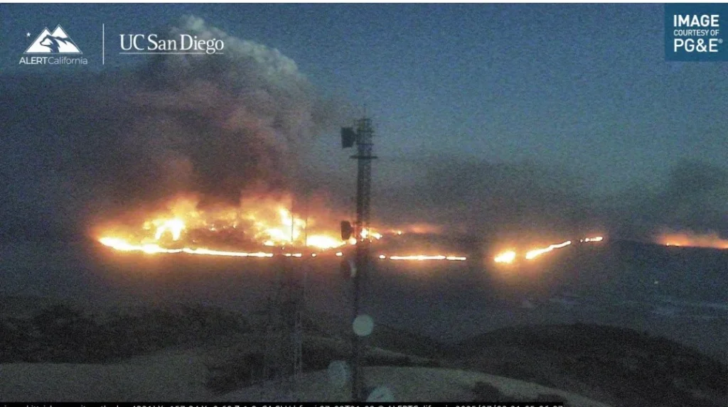
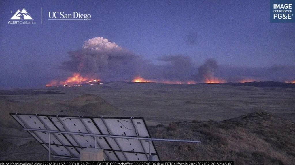
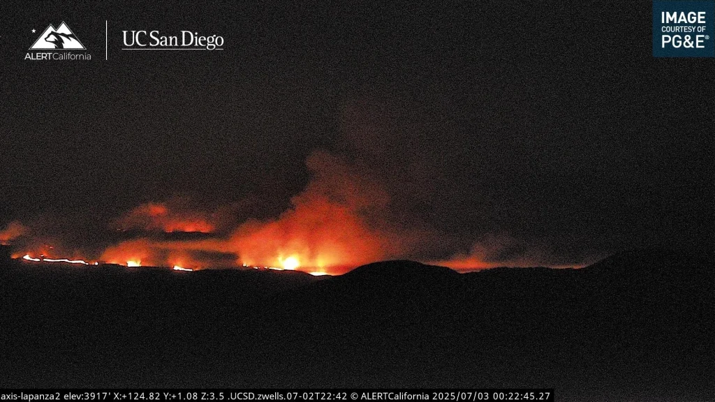
The Madre Fire ignited around 13:00 local time (LT) on July 2, along State Route 166 near New Cuyama in San Luis Obispo County, California. Initial growth was extreme, expanding from an estimated 40 ha (100 acres) to over 14 370 ha (35 531 acres) within hours, driven by high temperatures, low humidity, and gusty winds.
As of 23:43 LT July 2, the fire had burned 14 370 ha (35 531 acres) and was 0% contained, according to CAL FIRE. The fire is burning in a mix of grass and chaparral fuels across federal, state, and private lands, including parts of the Carrizo Plain.
The U.S. Forest Service is leading operations under a unified command with CAL FIRE San Luis Obispo Unit and the Bureau of Land Management. Additional support includes Santa Barbara County Fire and crews from Vandenberg Space Force Base.
200 personnel have been deployed, along with at least six air tankers, one very large air tanker (VLAT), and two helicopters conducting water and retardant drops.
State Route 166 has been closed eastbound from U.S. Highway 101 near Santa Maria to Perkins Road near New Cuyama due to the fire’s proximity and active suppression activity.
Evacuation orders are in effect for zones SLC‑337, SLC‑226, SLC‑338, SLC‑264, SLC‑299, SLC‑265, and SLC‑312. Evacuation warnings have been issued for zones SLC‑358 and SLC‑313.
Residents are urged to leave immediately if under an evacuation order and to monitor official sources for updates.
Weather conditions in the area at the time of ignition included ambient temperatures near 35°C (95°F), relative humidity around 20%, and wind gusts ranging from 24–35 km/h (15–22 mph).
These conditions contributed to rapid fire spread, particularly across brush-dominated landscapes.
Smoke from the fire has significantly impacted air quality across Santa Barbara and Ventura Counties. The Santa Barbara County Air Pollution Control District issued a county-wide air quality watch, urging residents, particularly those in sensitive groups to limit outdoor activity and remain indoors with filtered air.
The Madre Fire has already eclipsed previous significant fires in 2025, such as the Palisades Fire in Los Angeles County, which burned approximately 5 800 ha (14 400 acres) in May, and the Eaton Fire in Riverside County, which covered around 4 500 ha (11 120 acres) earlier in the year. Both incidents were considered major at the time but now appear modest compared to the Madre Fire’s footprint.
California’s fire seasons in 2020 and 2021 were among the most destructive on record, with the August Complex Fire in 2020 reaching over 417 000 ha (1 030 000 acres).
While the Madre Fire is significantly smaller, its emergence this early in the fire season, combined with dry, windy conditions, raises concerns about escalating fire activity in the months ahead.
Compared to mid-year fire statistics in 2022 through 2024, the Madre Fire represents an unusually large early-summer fire, indicating a return to more extreme wildfire behavior reminiscent of the 2020–2021 period.
Source: watchers.news