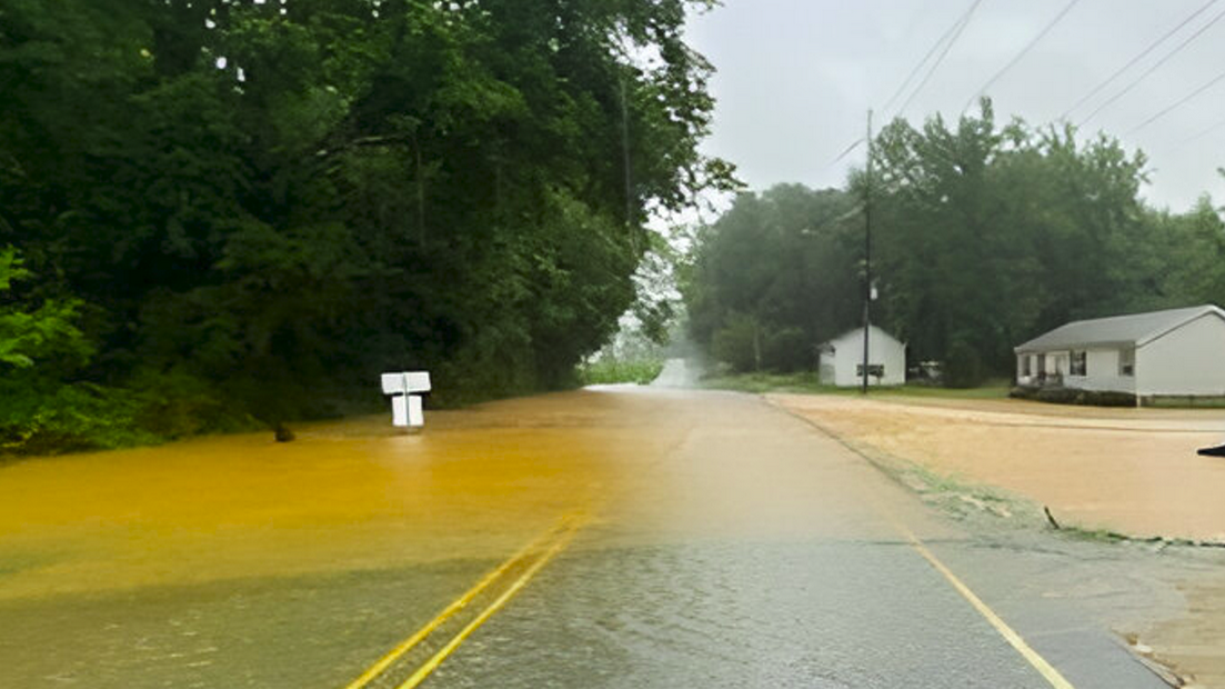
A prolonged period of heavy rainfall is impacting parts of the southeastern United States, caused by a stationary frontal boundary interacting with tropical moisture and low-pressure systems. As of August 7, widespread flood watches remain in effect following multiple days of flash flooding, road closures, and water rescues.
The rain has overwhelmed drainage infrastructure in multiple states, leading to road closures, damage to homes and businesses, and disruptions to local transportation networks. In addition to urban infrastructure, rural areas are reporting impacts to farmland, with standing water affecting low-lying fields and raising concerns over potential crop loss and soil degradation.
Emergency services have carried out water rescues in Alabama, Georgia, and the Carolinas. At least two people were killed in Nash County, North Carolina, on August 6. According to local authorities, a man and a woman inside a vehicle were swept into a ravine near Raleigh and were later found deceased. The incident occurred as flash flooding affected the area following intense overnight storms.
This brings the death toll for the southeastern U.S. to three, including one fatality in Clerburne County, Alabama on August 3.
Near Charlotte, North Carolina, 125–200 mm (5–8 inches) of rain fell during a 24-hour period between August 5 and August 6, prompting multiple water rescues.
The Prestonwood Country club golf course in Cary, was completely flooded as Turkey Creek, which runs just along the golf course overflowed its banks on August 6.
In southwest Georgia, the town of Oakland recorded 192 mm (7.55 inches), while nearby Blakely measured 152 mm (6 inches). The Atlanta metropolitan area and parts of central Georgia are forecast to receive 125–200 mm (5–8 inches) by August 7.
Forecasts also indicate rainfall totals of 25–50 mm (1–2 inches), with isolated amounts exceeding 100 mm (4 inches) through the weekend. In the Carolina Piedmont, accumulations could exceed 250 mm (10 inches) by the end of the event.
The heavy rainfall was triggered by a stalled frontal boundary extending across the Southeast and Mid-Atlantic, interacting with abundant tropical moisture and embedded low-pressure systems.
Elevated atmospheric water vapor levels were observed, with precipitable water values near 150 % of normal. Combined with atmospheric instability and slow-moving thunderstorm cells, these conditions are producing rainfall rates of up to 50 mm (2 inches) per hour in localized areas.
As of August 7, flood watches remain in effect from the Gulf Coast through the Carolinas. Urban areas, particularly those with saturated soils and poor drainage, are at increased risk of flash flooding.
Rainfall is expected to continue through at least August 9. The National Hurricane Center (NHC) is monitoring a disturbance off the Southeast coast with low to medium potential for tropical development. Regardless of tropical formation, continued rainfall associated with the current frontal boundary is expected to worsen flooding risks in affected areas.
Source: watchers.news


