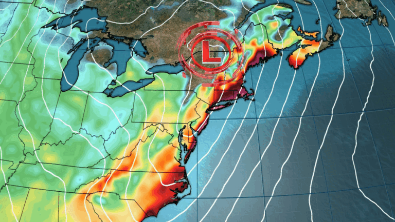
A high-amplitude mid-level ridge is currently building across the southeastern U.S. and will continue strengthening westward into the central interior through next week.
This synoptic pattern supports widespread and prolonged extreme heat affecting regions from the southern Great Plains and Mississippi Valley to the Ohio Valley, Appalachians, and parts of the Southeast and Southwest.
Starting July 20–21, elevated temperatures and humidity will build across the Southeast, with daytime highs nearing 38°C (100°F) and heat index values surpassing 43°C (110°F) in some areas.
The combination of high dewpoints and warm overnight lows, some near 26°C (79°F), is expected to maintain high thermal stress on vulnerable populations. Long stretches of heat with little nighttime relief are especially hazardous in humid regions and places where access to effective cooling is limited.

By early to mid-week (July 22–24), the heat wave is forecast to expand significantly into the Mid-South and central U.S., including the Mid-Mississippi and lower Ohio Valleys, where persistent high temperatures and heat indices may exceed regional climatological 90th percentiles.
NOAA’s probabilistic models show a ≥60% chance of extreme heat across the central and southern Great Plains and the Middle and Lower Mississippi Valley for July 26–28. A broader moderate-risk area (40–60% chance) extends from the High Plains to the Appalachians through August 1.
In addition to extreme heat, a slight risk of heavy precipitation is forecast along the central Gulf Coast from July 25–26, linked to potential surface low formation in the Gulf of Mexico. Localized heavy showers and thunderstorms are also expected around the northern periphery of the ridge, affecting parts of the Northern Plains and the Great Lakes Region between July 26–29.

In California, an elevated surface pressure gradient is forecast to bring a short-duration high wind threat along parts of the southern coast until mid-week. Over Kansas, dry antecedent soil conditions combined with the expected heat support the development of rapid onset drought.
The National Blend of Models indicates potential for near-record daytime temperatures across the Tennessee Valley and unusually high nighttime temperatures throughout much of the eastern U.S. through the first days of August.
This event follows a late-June heatwave that affected more than 100 million residents and set numerous temperature records.
From: watchers.news